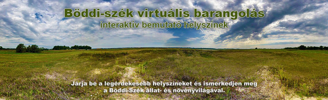
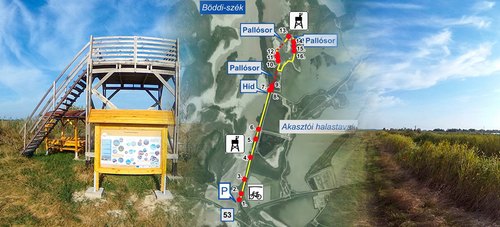
SÓBALLA TANÖSVÉNY
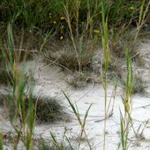
A Sóballa tanösvény a világviszonylatban egyedülálló pannon szikesek legfőbb elemét, a klasszikus fehér vizű szikes tavi vízi élőhely együttest és a környező szikes élőhelyeket, a jellemző növény és állatfajokat mutatja be élményszerűen közeli módon, a Böddi-szék peremén.
The project is supported by the financial contribution of
the LIFE+
fund of the European Union.
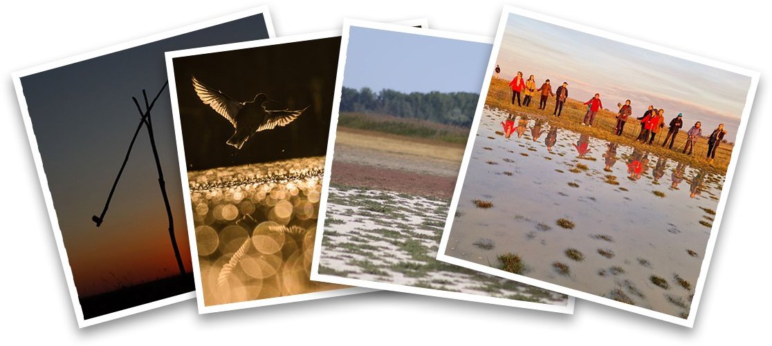
VIRTUAL WANDERING
GALLERY

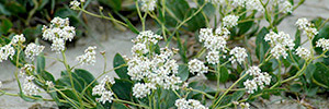
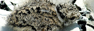
PLANTS
Monitoring
As we expect the improvement of the whole ecological system of the alkaline wetland habitats, multilayer monitoring analyses are needed to detect the simultaneous changes of the most possible elements of the system. We can measure the success of the project by the positive change of state in the whole system.
The monitoring plan was compiled based on the results of the alkaline lake survey of LIFE07NAT/H/000324 program in 2009-2010 which affected the whole Pannonian ecoregion. This way, the results of the habitat development of the project can be compared to and evaluated with the reference survey on the whole region.
The study sites of the near-natural alkaline (sodic) lake state survey in the whole Carpathian Basin were selected using the following ecological criteria:
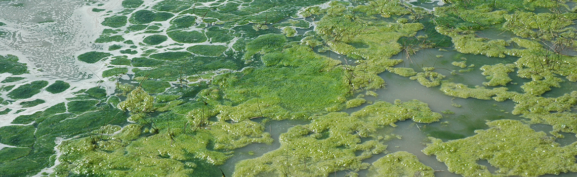
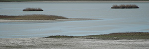
- Shallow (0.2-2 m deep in average) stagnant waters, which have more than 1/3 of their natural lakebed (of deflation, erosion or suffosion origin) covered (at least temporarily) by intermittent open water surface or floating vegetation;
- When the lakebed dries out temporarily, first of all the typical salt pioneer sward of dry alkaline lakebeds appear there, thus the percentage cover of aquatic and marsh vegetation doesn't exceed 50% persistently (for more years);
- The annual average salinity (salt content) is minimum 1g/l;
- There is a significant proportion of sodium and hydro carbonate ions in the dissolved mineral content (min. 20% percentage equivalent by ions);
- The presence of alkaline/sodic character habitats, communities and species.
The habitat rehabilitation actions of our project proposal aim to develop habitats, which meet the requirements of the above criteria (determined in the former LIFE program).
To understand the water regime of the astatic sodic lakes and to detect improvement in the hidrological parameters due to the conservational efforts well defined protocol is considered to be used.
The monitoring of hydrological and hydro-biological factors of the open sodic wetland habitats includes the surveying of the most important abiotic parameters of the sodic lakes:
- depth of the water,
- Secchi-disk transparency,
- electric conductivity,
- pH
- dissolved oxygen,
- quantity of the organic matter deposited in the lakebed,
- thickness of the sediment
In order to collect information about the effectiveness of the conservation measures these basic hydrological and hydro-biological measurements should be implemented in many sample points, collecting samples also in the periphery of the lake and the rehabilitated parts as well.
Monitoring the distribution and state of Pannonic salt steppes and salt marshes habitat of community importance (1530)
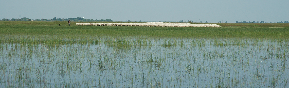
The objective of this action is to justify the improvement of the ecological state of the sodic wetland habitats managed by special grazing with floristic data and the documentation of the changes in the vegetation structure.
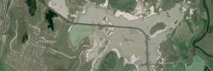
1. During the project 3 map series will be prepared illustrating the distribution of the 1530 habitat types (using the data of the 3 given years). With this, the change in the areal ratio of each habitat can be compared and evaluated.
2. Nine 300 m long permanent transect will be established and monitored twice each year.
Along the transect we indicate the appearance of characteristic and indicator species connected to the alkaline lakes and the increase of their abundance.
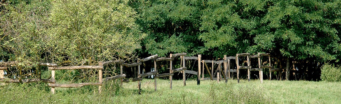
3. 18 sample sites with an extension of 50m x 50m will be selected to monitor the effects of the grazing. 9 of them will be fenced off in order to exclude grazing animals and to observe unmanaged vegetation as control. Differences between grazed and un-grazed areas will be demonstrated.
The vegetation monitoring is one of the most important tasks which make possible the detection of direct correlation between conservational efforts and the improvement of targeted 1530 and 6260 habitats. The sophisticated methods used will allow the assessment of all directly managed area and will reflect effectiveness of all C actions, covering all the 2345 hectares of the project area.
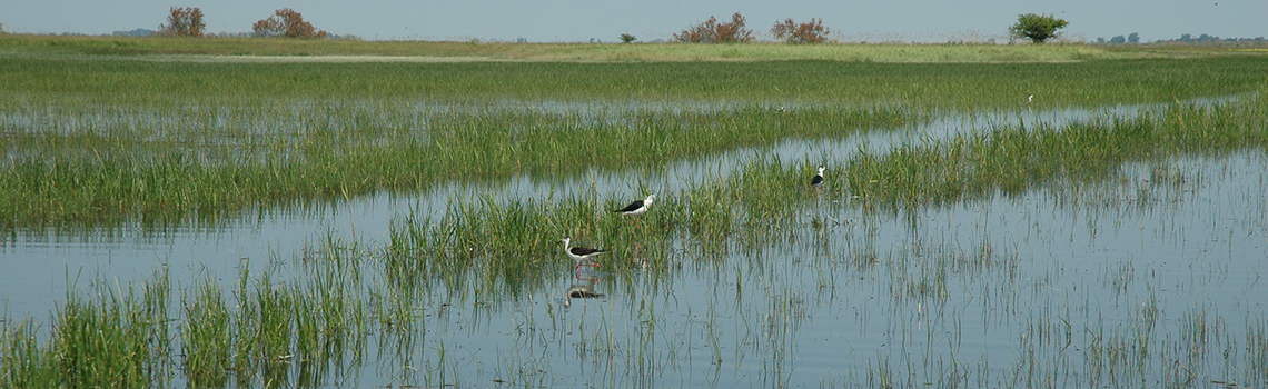
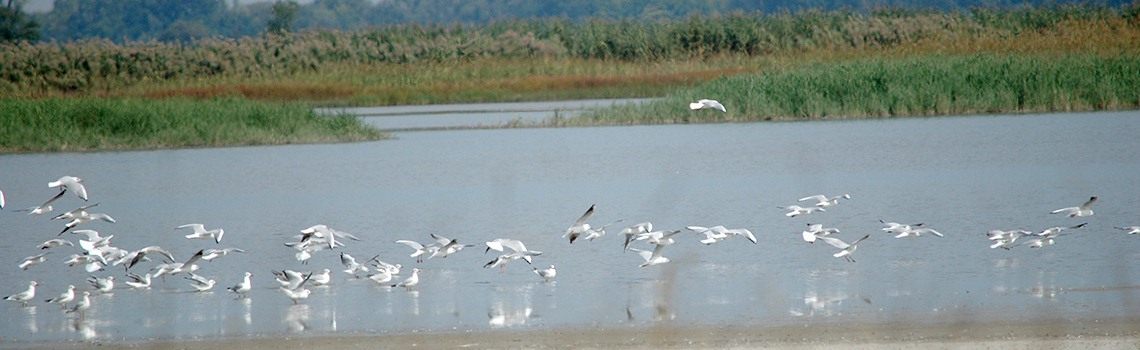
Ornithological monitoring
The reconstruction of water balance and the targeted application of high level grazing for conservation purposes can be indicated directly by the changes of the avifauna characteristic of the sodic lakes. The ornithological monitoring will contribute essentially to the assessment of all directly managed area and will reflect effectiveness of all C actions, covering the whole project area on 2345 hectares.
- Records and maps of the territories of feeding, breeding and migrating species of the habitat type 1530 will be obtained in the course of the project (for six breeding periods).
- The exact number of territories and breeding pairs will be determined.
Based on the six-year data the population trends could be assessed for each species.
The copyright owners of photos, audio and video recordings and of illustrations are the authors. Any use of them is prohibited, unless a written permission is obtained from the author or the project manager.
Kiskunság National Park Directorate
Krisztina Kiri
project manager
Phone: +36-30/149-3181
E-mail address: kirik@knp.hu